Welcome! Projects are sorted here. All projects created using ArcGIS, GeoDa, or R-Studio.
About me
My name is Grace, and I am a junior Biology major here at Drew University. I am taking this class because I want to study animals in the field, having experience with GIS programs will greatly help my ability to understand animal population patterns.
What is GIS?
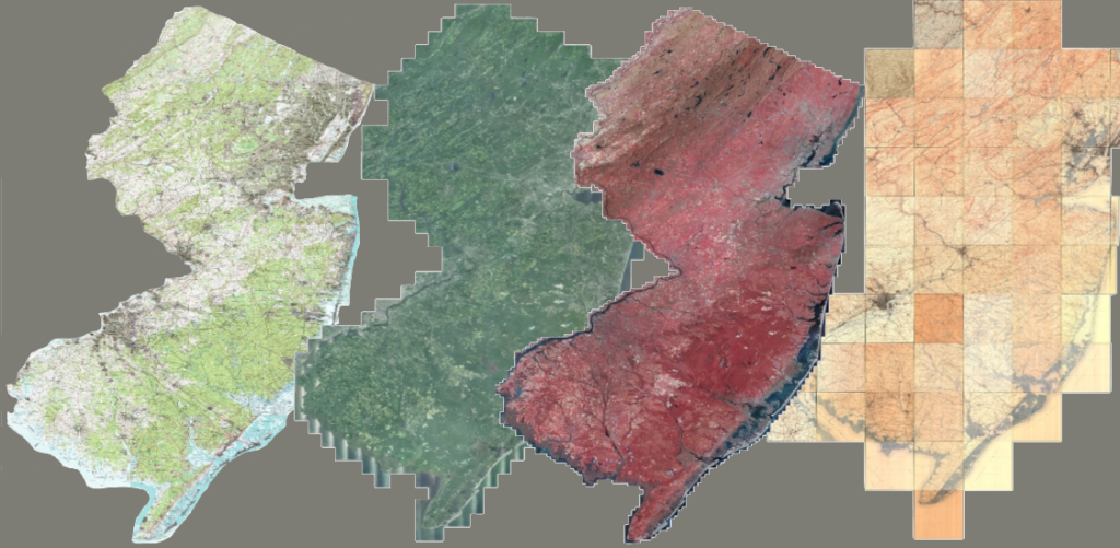
Geographical Information Systems, or GIS for short, are a way of collecting information on a population. This can be used to keep track of statistical data as well as images of places around the world.
Is this important?
Yes! GIS is very helpful for many people, whether people want to keep track of a population over time or see how an area changes over time.
Thanks for stopping by!